Images found online and annotated by Jean-Louis in 2017.

View looking into the galley and also the Crew’s mess on ARD-31 drydock . Photo by Wayne Smith, Fort Sask. Wayne worked on the ARD 31 in 1972-73. I worked on the ARD 31 much earlier in 1961 , however the crew’s mess and galley are the same.

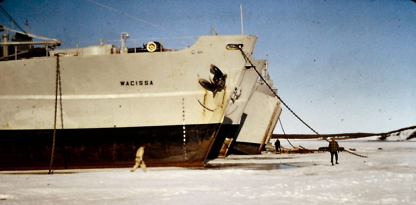
Arctic ice on the way to Barter Island, Alaska. The LST 1072 would sometimes have to take a run at the ice, slide over the top, let the ship drop down, break the ice and then go back for another run. We definitely could feel this as we progressed through the ice.

an LST ,with US helicopter on-board in the ice around Point Barrow, photo courtesy of US Navy.

A few Inuit summer houses along the Arctic coast

Arctic char drying on pole. Arctic char are an important source of protein for the Inuit. Photo from Pinterest.
 Map.")
Bar E (Horton River, aka as Malloch Hills) Map. Not Bar 3, as shown on map. Close to the Smoking Hills. Map by Google.online

Bar Main Radar site and furl tanks on Barter Island, Alaska. Photo by fineartamerica.com, c/o Reimer Gaertner.

Barter Island . Bar Main Sector radar site. Now called Kaktovik, Alaska. Photo by Getty images, Steven Kaslowski

Eldorado Aviation DC-4 . Photo by Bruce Drum Airlines Gallery-1952. This is the type of DC-4 we took from the Edmonton Municipal airport in 1961 to go to Norman Wells, then Inuvik.

map of Arctic coast from Point Barrow,Alaska to Taloyoak, Nunavut

Smoking Hills , what are they , where are they and how were they discovered. They are located 65 miles east of Paulatuk. Information by Wikipedia.

History of the DEW Radar sites across the Arctic.

2 pingos in Tuk seen from the ship

Polar bear on ice floes. Photo by google.com
