
MY THIRD AND FINAL YEAR IN THE ARCTIC…………1963. Eclipse July 20,1963.
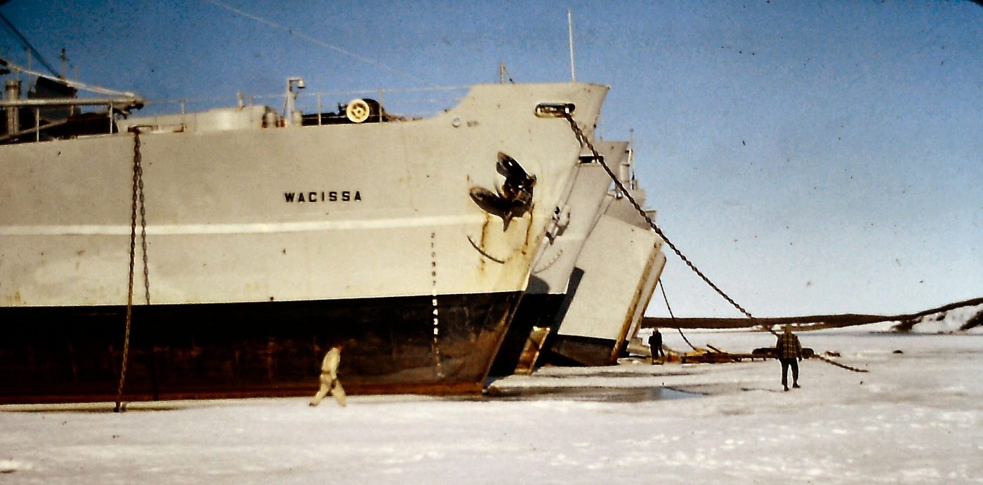
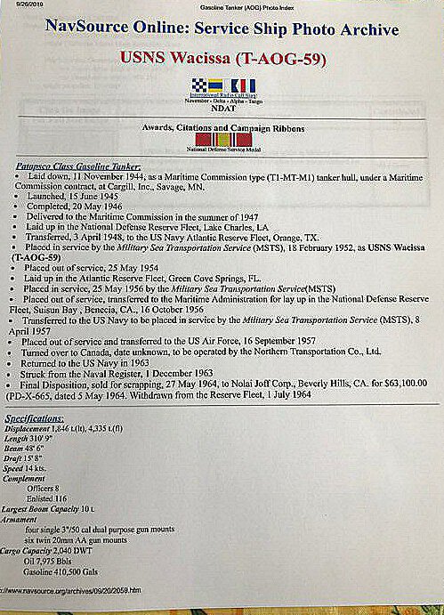
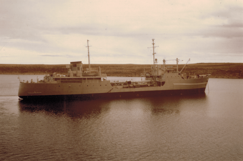
After successfully completing Year 2 in Dentistry, I was once again rehired by N.T.C.L. and this time as an Officers’ Mess Steward. This was the best job one could get as a steward on the ships. I found out I would be working on an AOG tanker, the USNS T-AOG 59 -Wacissa. AOG stands for Patapsco-class of gasoline tankers used in WW2 and the Korean War by the US Navy.

An example of an AOG Patapsco class tanker – OO7 Elkhorn
In a way 1963 was my favorite year working on the ships in the Arctic. We had a wonderful Captain William Dicks from Placentia Bay, Newfoundland. I really enjoyed working for him. Also, all the officers that I waited on and served in the Officer’s Mess were great, friendly, and easygoing. This made my job so much easier, pleasurable, and gratifying.


Example of a similar galley on an AOG Tanker.Photo by Getty Images, Dan Bayley.

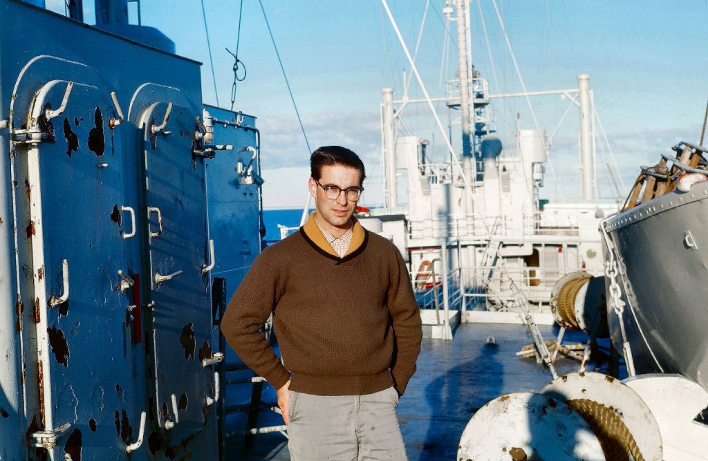
I bunked with a really great fellow University student/steward from Victoria, B.C. to share a room. His name was Bill Spotswood, and we became good friends over the next 3 1/2 months.

Photo by J.L. Ares 1963.

Photo by J.L. Ares

Photo by J.L. Ares. 1963.
We each had our own bunk with a porthole to look out for a real treat from the previous 2 years. I had progressed from triple bunk to double bunk to my own bed. What a treat. In hindsight, my only regret is that I did not write about all these Arctic experiences when my memory was better compared to now… almost 60 years later in 2019-20. Regretfully, I was never one to write a diary every day. So, I made the decision to remember as much as possible and put my experiences in writing, including some of the photos I took during my 3 years of service in the Arctic. I had many carousels of 35 mm slides.
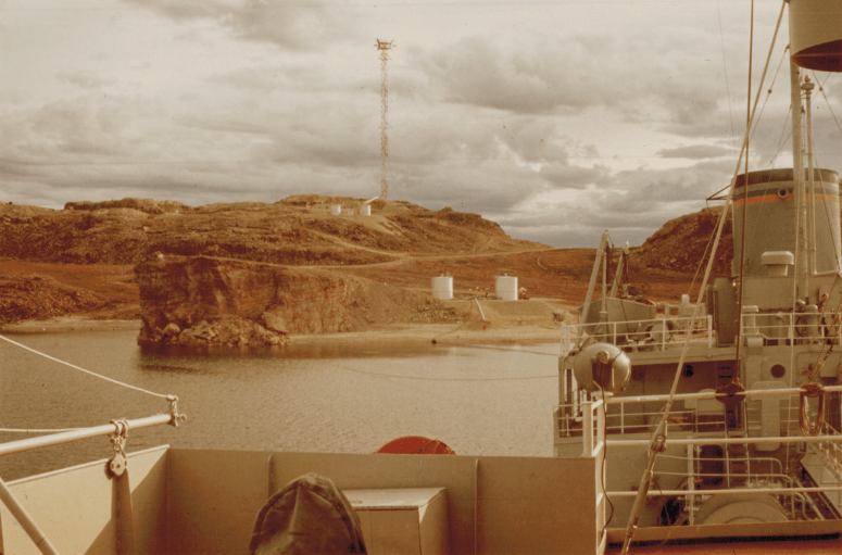
The AOG tankers were made to carry gasoline. This would be pumped onto the tanker in Tuktoyaktuk. Barges had brought the gasoline up on the MacKenzie River from Hay River and I saw the Radium Dew tug boat many times in the Tuktoyaktuk harbor. After that, the Wacissa’s job was to bring it to various DEW line sites and pump it on shore to storage tanks.
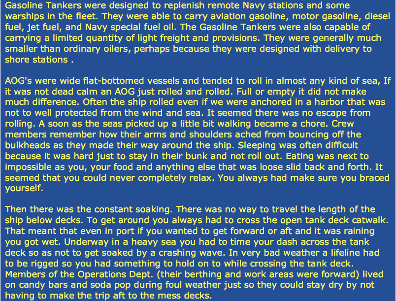
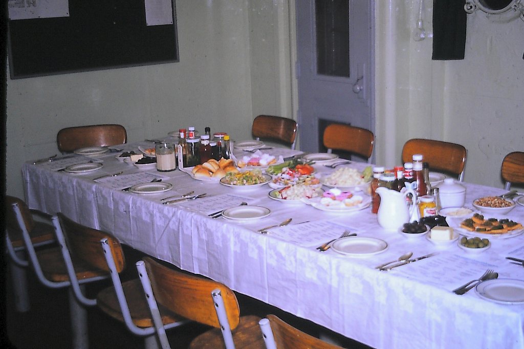
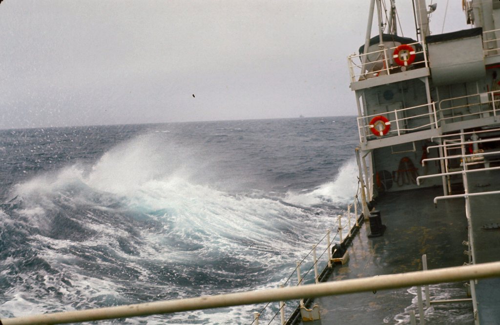
The above information “in blue background”, comes from Navsource, navymemorieshop.com. I give credit to Mr. Paul Gryniewicz for this write-up. I can personally confirm that what he says is very true about life and work on an AOG tanker. The rolling back and forth is something you have to get used to. You had to carefully time going up and down steep ship stairs with all the constant tilting to the port side and then to the starboard side. In the mess, all the dishes, cutlery, glassware, cups, and saucers had to be stored and stacked in special vertical metal rods “containing compartments”. Even on the table, sometimes in rougher weather, we would wet the tablecloths and towels to keep plates, cups, saucers /condiments from sliding around, tipping down, or falling off the table and breaking.
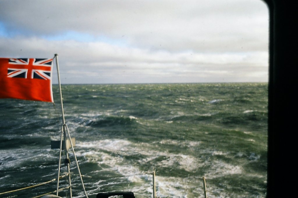
Photo by J.L. Ares
The officer’s mess was at the stern end of the ship and there was a very low “catwalk”(gangplank) linking the mess and galley to the bridge and wheelhouse at the front (bow) of the ship. So, it was a real challenge to deliver pots of coffee, tea, and snacks to the officers on the “bridge” at the front of the ship.


The Chief Engineer gave me a tour of the engine room.

One had to time it just right to walk across and not get wet from the waves or stumble because of the rolling. I did get wet on occasion. Sleeping in our bunks was not that bad because they had restraining metal sidebars similar to what you will find on hospital beds.
Because of all the rolling, every year I would get seasick for the first few days. Then I would be OK for the rest of the season. I found it would be easier, if possible, to be outside facing the weather and the waves rather than being confined inside a closed room. There is nothing worse at first than facing walls that keep swaying and moving up and down and sideways at different angles.

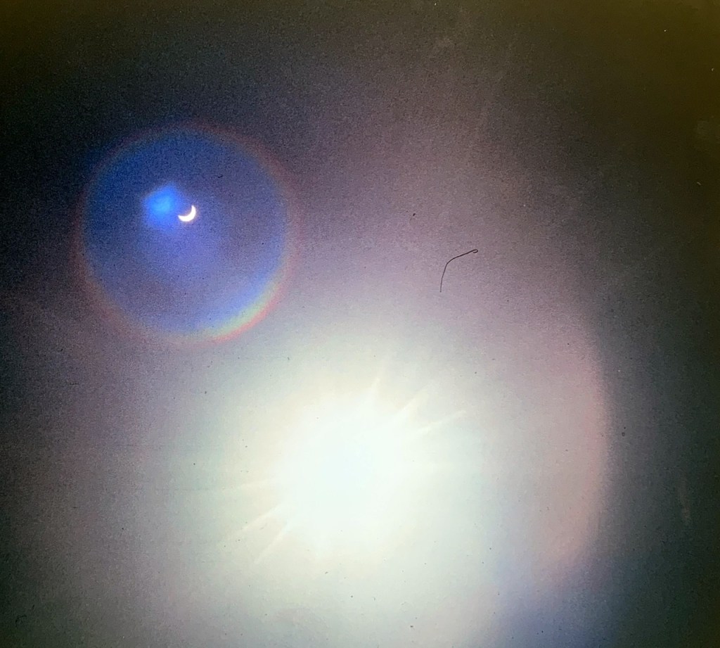
Eclipse July 20, 1963.
In the mid-summer, there was a total eclipse of the sun as the Wacissa tanker was heading east towards Cambridge Bay.

Path of solar eclipse

Our ship’s location,at the top of the map image( where the black dot is). It is in the Coronation Gulf between Kugluktuk (which used to be Coppermine) and Cambridge Bay.
It got suddenly darker and colder as the eclipse occurred. I did not have the proper equipment to photograph an eclipse so I did the best I could with welder’s goggles.
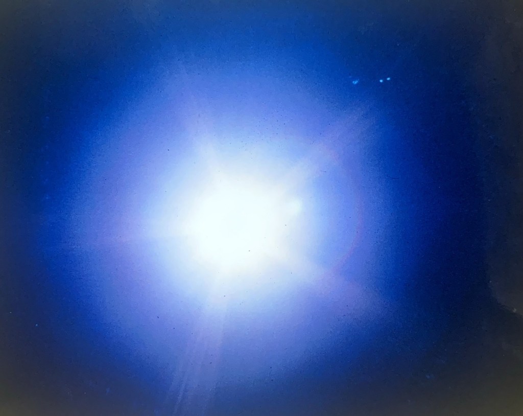
eclipse no. 1
eclipse no. 2

eclipse no.3

eclipse no. 4
eclipse no. 5
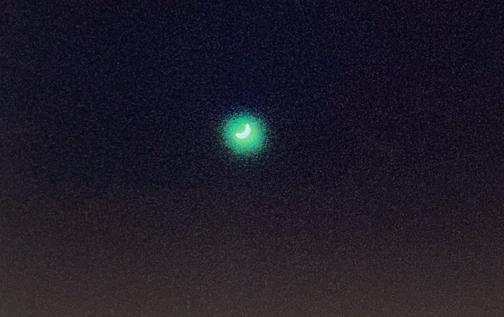
This is the best I could do with rudimentary photography equipment, however it was still an awesome few minutes. Here is what a real total eclipse would look like.
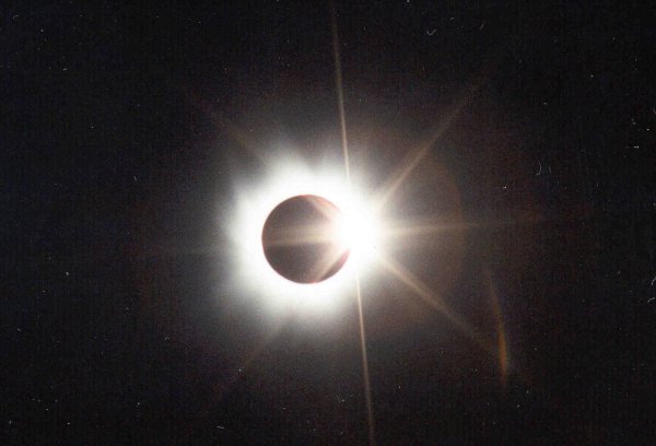
A total solar eclipse from Wikipedia.
That 1963 summer, the “Wacissa” basically did all the stops at the DEW line sites that the LST 1072 had done the year before, except there was no western trip. The tanker could not beach like the LST so it would be anchored offshore and special thick pipes would carry the gasoline to “onshore” storage tanks. The furthest east we went was again Shepherd Bay, Cam 3, and Spence Bay (Taloyoak).

map by Taloyoak.gif.
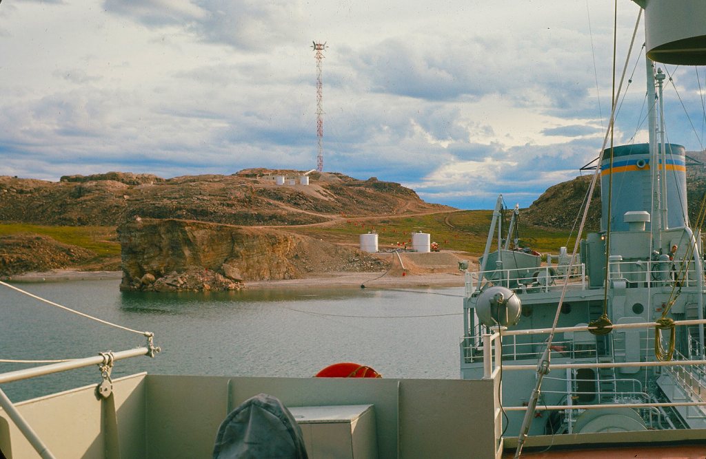
Hoses pumping fuel, gasoline, and diesel going to storage tanks on shore.
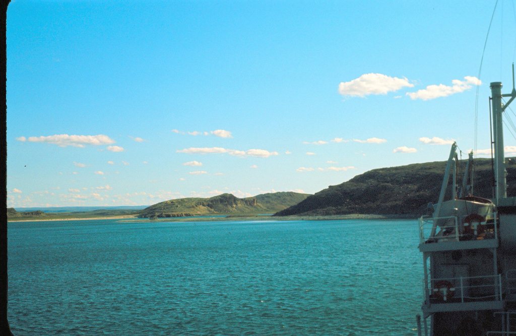
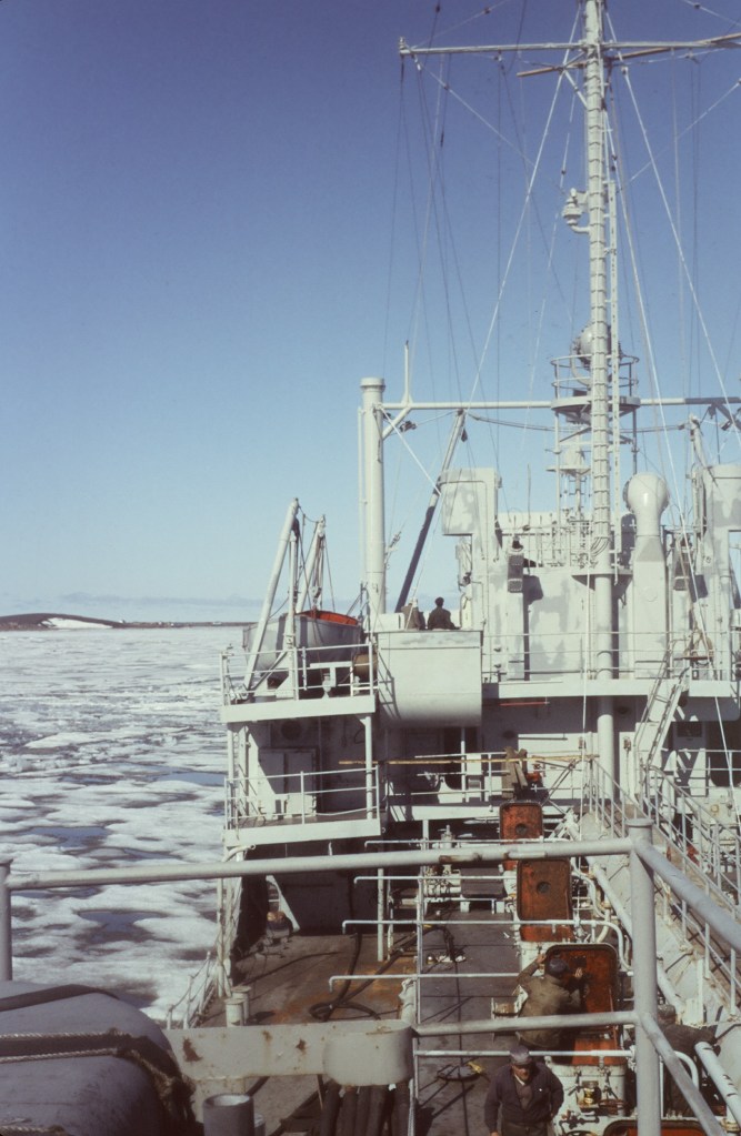

Photo by J.L. Ares. 1963.
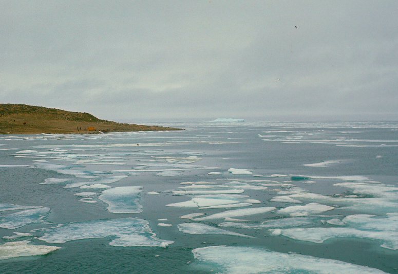
The summer of 1963 was warmer than 1962 however we did go through some ice like the year before on the LST.
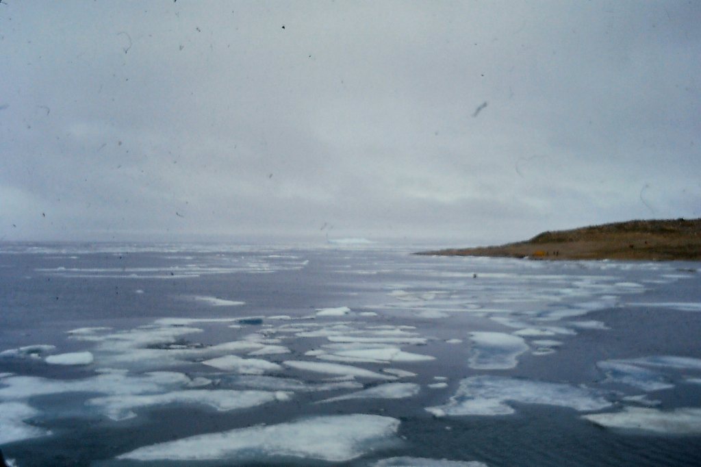
Photo by J.L. Ares.1963.
There was less camaraderie with fellow workers, AB and Ordinary Seamen, and others on the ship because they would go to the crew’s mess so I would not see them very often except when they were working on the outside decks. I did not mingle with the officers except for waiting and serving them. I missed the fellowship with the seamen, not being able to kibitz with them, hearing their Newfie accents, and playing cards. However, I kept busy on my “off duty times” reading books, talking with my bunkmate, and again writing long letters and postcards to my girlfriend Mena, now residing in Edmonton. Also, I brought with me reel-to-reel tapes of music. In between breakfast, lunch, and dinner times in the officer’s mess, I would play these tapes. I had previously recorded and taped music from Chet Atkins, Floyd Cramer, Henry Mancini, early rock and roll music favorites with the Ventures, Duane Eddy, Elvis Presley, , Chubby Checker (the Twist), Roy Orbison, Fats Domino, Ricky Nelson, Ray Charles, Del Shannon, Connie Francis, Chuck Berry, Jerry lee Lewis, Buddy Holley, Louis Armstrong. Those were fun to listen to while working around the Officer’s Mess. I had even taped some classical music as well. I also listened to some local and closer Arctic radio stations in the officer’s mess AM radio set-up.
On sunny days when we had a wee bit of time off from meal times and coffee breaks the stewards would gather around the back deck of the ship sunning ourselves. We would watch the ever-present seagulls waiting for organic wastes to be dumped into the ocean. These birds, including Arctic terns at times, would follow for miles and fly around the ship just waiting for food to come down. Many seagulls roosted on the ship “hitching a ride” as it were. Seagulls are attracted to ships because our discarded organic waste offers an easier meal than diving for live fish. It did however keep the seamen busy cleaning the decks. I have a photo of a seagull sitting on the flagpole flying the Canadian flag, the Red Ensign at that time.


I did not have an appropriate photo of these birds. They were expert divers at catching fish.
They also have the longest migration route.
Soon upon our return to Tuktoyaktuk, we found out that the “Wacissa” was to be returned to the US Navy at Seattle, Washington State. Back in 1957 “Wacissa”, after having her bow reinforced for service in the Arctic, had been turned over and loaned to the Canadian government to operate with NTCL, for annual re-supplying of DEW line radar stations in the Western Arctic. Now it was time to return her to the US Navy.
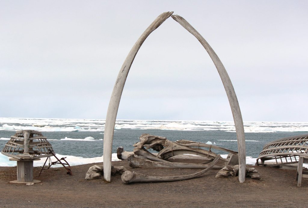
We made our way westward on the Beaufort Sea past Prudhoe Bay to Point Barrow, Alaska. This is the most northern mainland point on the North American continent and at one time was a strategic location when everyone was worried about Russia and possible incoming warheads.

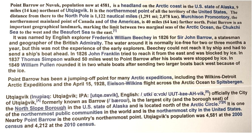

Photo by commons.Wikipedia .org
P

Population- 4581.. Photo by dw.com.
There we encountered an early snowstorm and heavy winds. The captain made the decision to throw down the anchor and wait it out.

photo from Andrei.NY City/Juneau. The USA. Point Barrow. July 2008.
Wikipedia Commons.
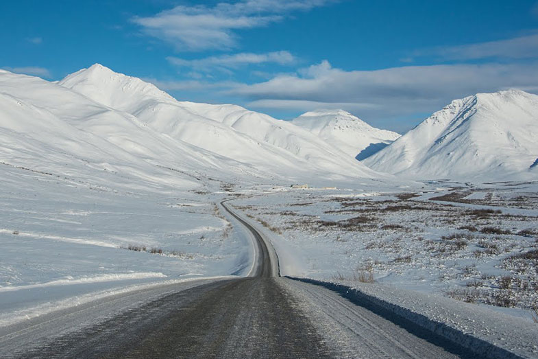
Dalton Highway map- built in 1974.

The James W. Dalton Highway usually referred to as the Dalton Highway (and signed as Alaska Route 11), is a 414-mile (666 km)[1] road in Alaska. It begins at the Elliott Highway, north of Fairbanks, and ends at Deadhorse (an unincorporated community within the CDP of Prudhoe Bay) near the Arctic Ocean and the Prudhoe Bay Oil Fields. Once called the North Slope Haul Road (a name by which it is still sometimes known), it was built as a supply road to support the Trans-Alaska Pipeline System in 1974. It is named after James Dalton, a lifelong Alaskan and an engineer who supervised the construction of the Distant Early Warning Line in Alaska and, as an expert in Arctic engineering, served as a consultant in early oil exploration in northern Alaska. from Wikipedia.

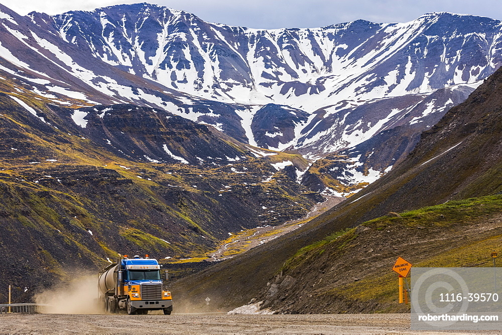
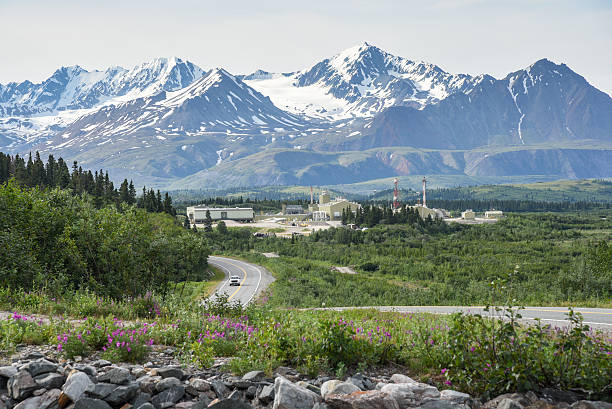
In many places, the pipeline is adjacent to the highway. Pipeline facts and photo courtesy of Wandering La Vignes.


Climate change is causing numerous problems, especially in the Western Arctic.
Photo by J.L. Ares., 1963.

It is the largest oil field in North America. Map by Meg Sherval , polargeography.reserachgate.net.

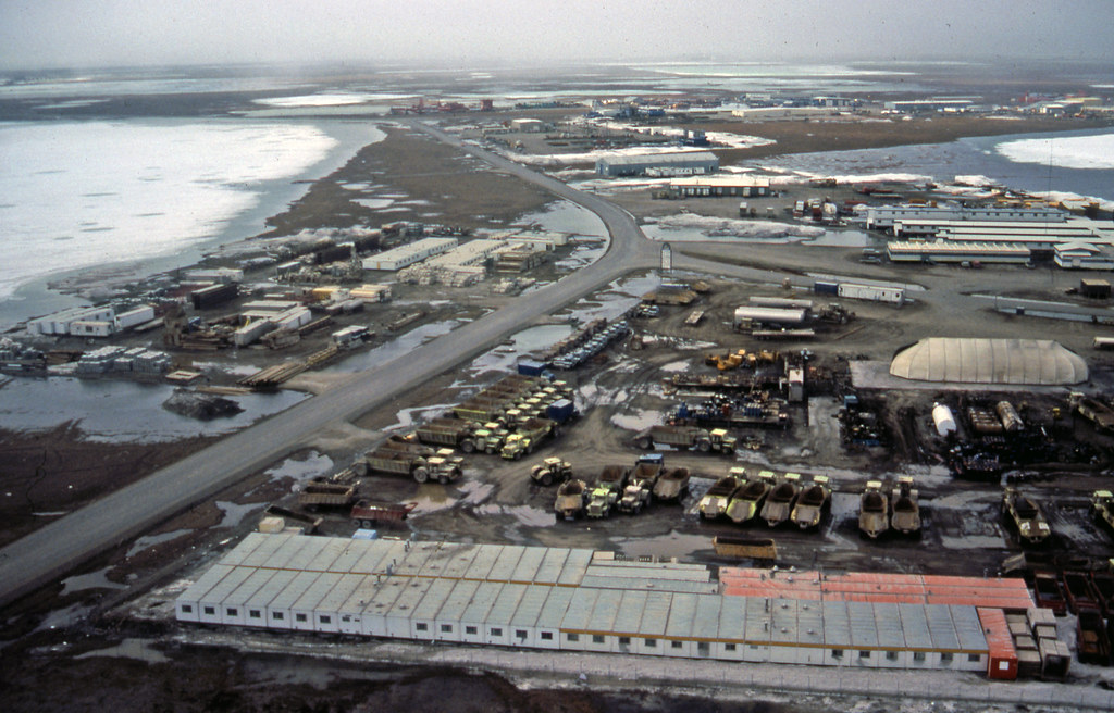
Photo by worldatlas.com.
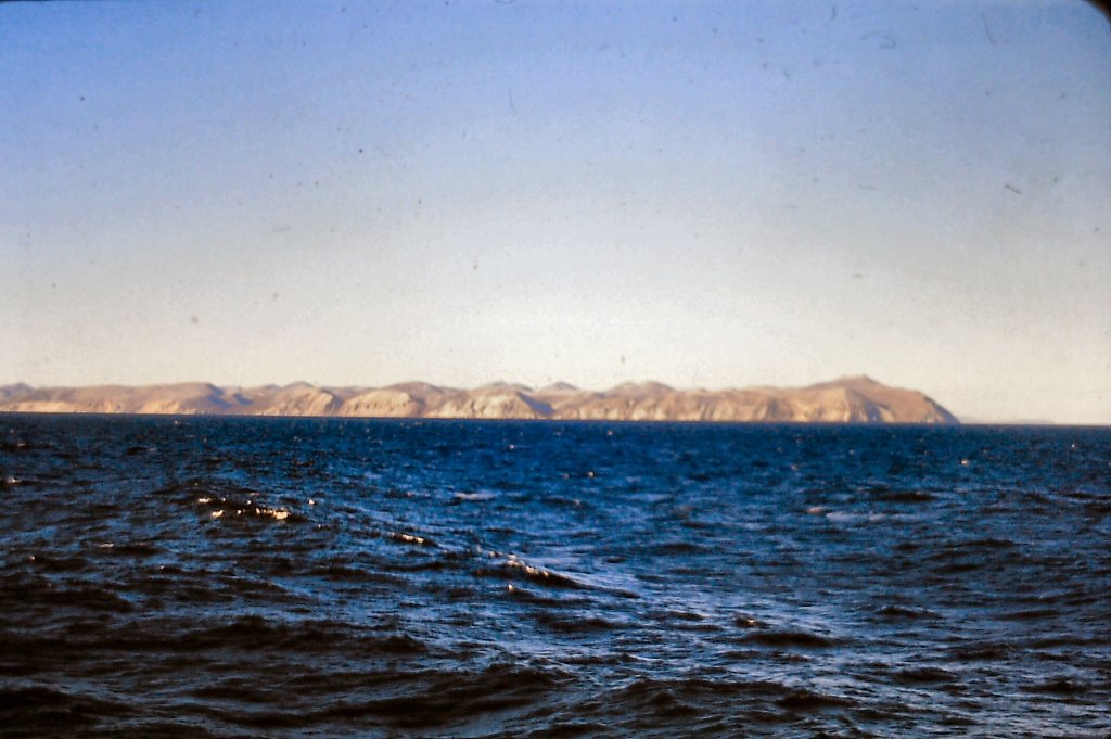
After a day we were able to continue sailing west past Wainwright on the Chukchi Sea and Cape Lisburne. I took a photo of Cape Lisburne.

From there we were heading now south past Kotzebue for the Bering Strait and the Bering Sea. The strait is a narrow passageway between Alaska and Russia. At its narrowest, there are 55 miles between Alaska and Russia.
The Bering Strait separates the Chukchi Sea, a southern extension of the Arctic Ocean, from the Bering Sea. Sea ice that migrates south through the strait in winter plays an important role in the Bering Sea ecosystem (source sciencenews.org).
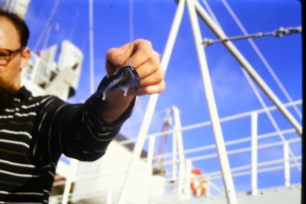
There are 2 important islands in the Bering Strait, the big Diomede Island, and the Little Diomede Island. The larger island is Russian and the smaller one is American. The International Date Line runs between them. I took photos here but there was not much to see of and on these islands.
The International Date Line runs between them.

Further south we sailed towards the Aleutian Islands and Unimak Pass, a famous passage between Unimak Island and Akuten Island. Unimak Island is beautiful, rugged, and breathtaking. You can see rocky cliffs covered with ice, snow, and glaciers. I have a photo of this. The Aleutian islands are a long curved archipelago of islands jutting out from Alaska in a southwest direction and separating the Bering Sea from the North Pacific Ocean.

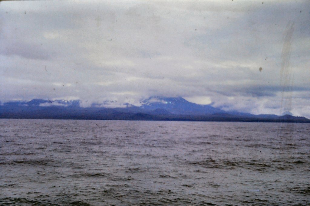

photo by montrealgazette.com
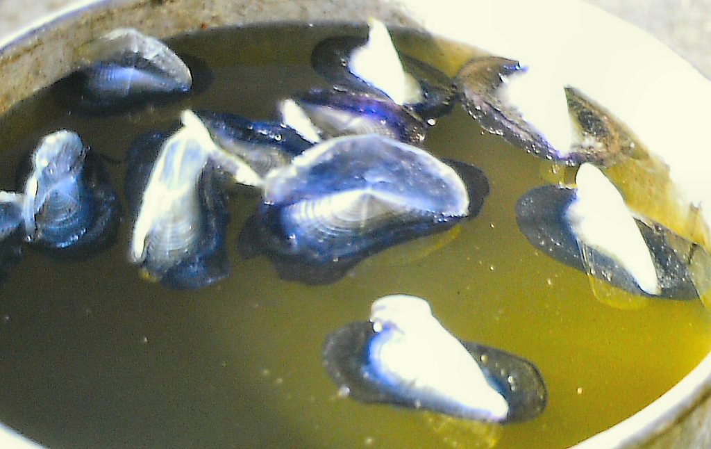
As soon as we were in the Pacific Ocean the weather was much warmer, with calm water with slow heavy swells. It felt really nice after the colder northern weather we had experienced for the past 3 months. Along the way, we went through a huge area of Portuguese “Man of War” stinging jellyfish. There must have been thousands of them. We scooped some up with a bucket.

Actual photo by nationalgeograhic.com.
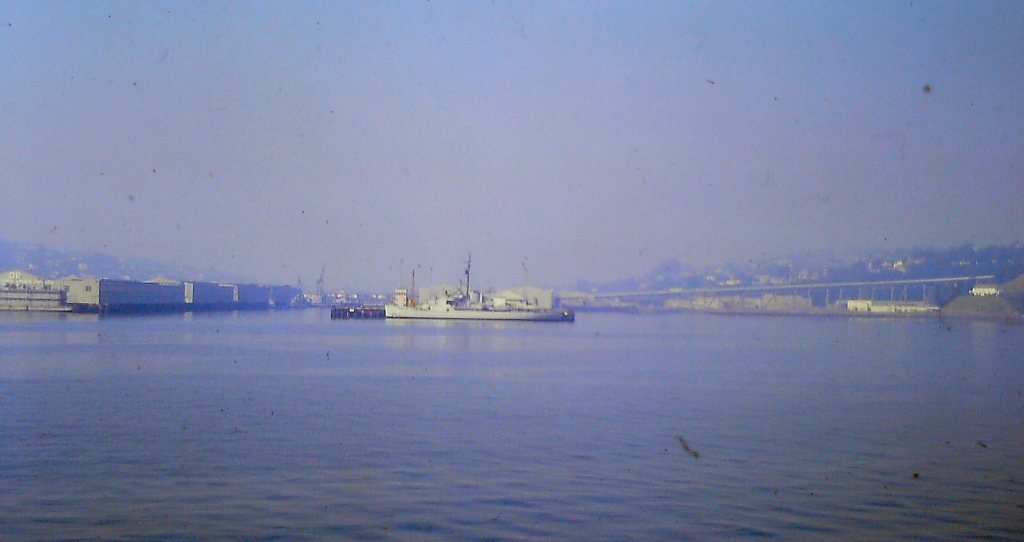
Ultimately we reached Puget Sound and shortly after a pilot came onto the “Wacissa” to guide her into the Seattle harbor and docks. Puget Sound pilots are elite mariners who guide vessels around local waters.


Once we docked and came ashore it was the weirdest feeling. I now know what “drunken sailor” means. That’s how you walk after being at sea for 16 days like we were. You are so used to compensate for the swaying of the ship and then when it’s not there…..wow, you still feel like moving back and forth, front to back!

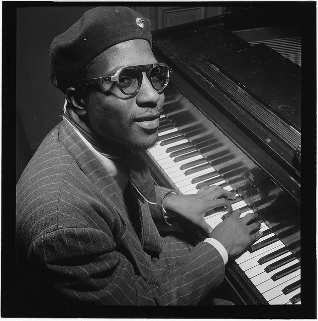
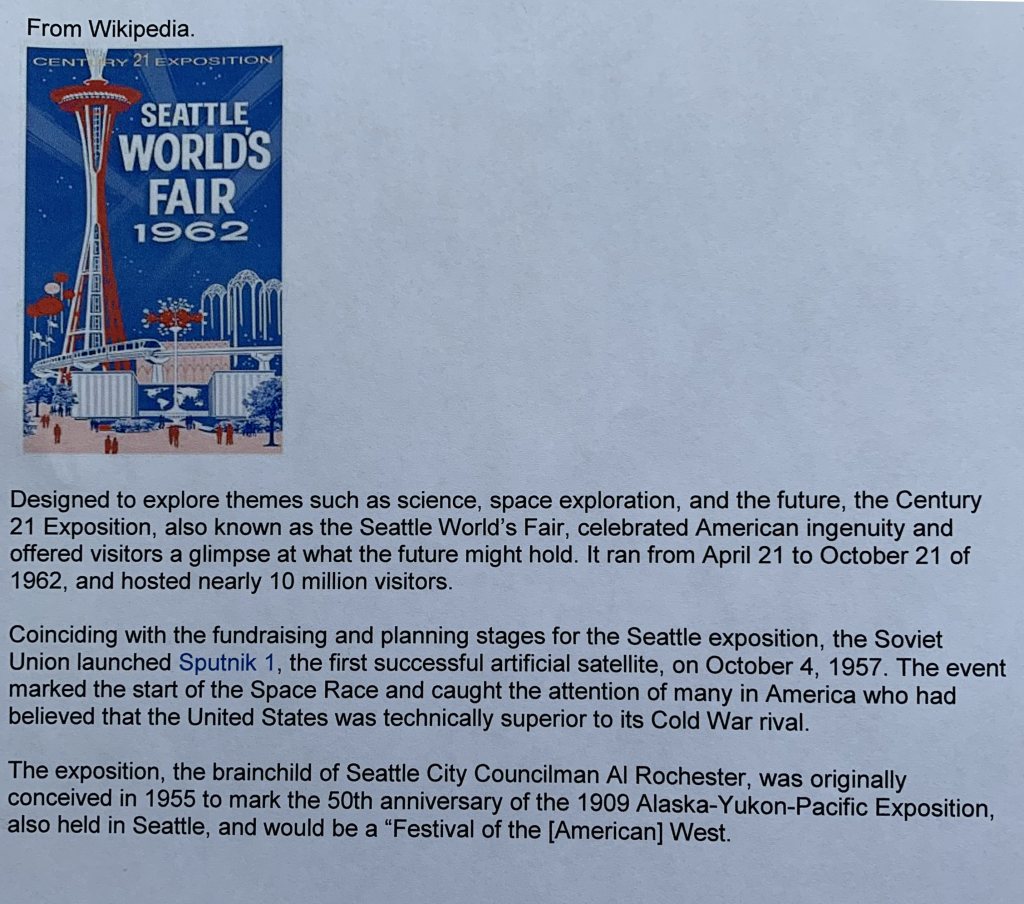
We spent a few days in Seattle while the ship was being cleared. We visited the World Fair’s site and photographed the “Space Needle”, constructed for the World’s Fair in 1962. In the evenings we enjoyed going to a jazz and blues bar and listening to Thelonius Monk who was playing there in September.

Because we had to take the “Wacissa” back to Seattle this extended our work season. I wrote to the Dean of Dentistry and explained why I would be late to start third-year Dentistry. Dean Hector Mclean was really nice about it and said “no problem”. I was 3 weeks behind but caught up really quickly.
When I think back and reflect on my 3 summers in the Arctic, I feel privileged to have seen many parts of the Arctic that many people will never get a chance to see. Have you checked what an Arctic Northwest Passage cruise costs now? The Arctic work has given me an extra dimension and perspective of Canada as a whole. We do have a beautiful and diverse country in terms of geography and also with diverse indigenous groups. I will always remember with fondness the Inuit people and especially the happy and smiling Inuit children. They loved to be photographed and were the most fun!
To all who might read this someday, thank you for reading about my short time in the Arctic and summers only. I got to experience the “Land of the Midnight Sun in the summer and missed the cold and total darkness of winter. On occasion another fun memory was trading with the Inuit; Arctic Char for canned goods such as jam, pineapple juice, and orange juice. They also loved the few fruits we could snitch from the mess. All of these were very expensive up North.
I did eventually graduate from Dentistry in the spring of 1965. My summer jobs with NTCL took care of my social expenses and all my University fees including books, Lab supplies, dental instruments, etc. I am extremely grateful for that. After slightly over 4 years of courtship, I did marry my girlfriend Mena in February 1965. She was and continues to be the love of my life and my forever soulmate. We did have 5 children starting in 1966. Michelle, Marc, Daniel, Robert, and Lisa.
My younger brother Richard worked as a steward for NTCL in Tuktoyaktuk on the LST 602 and the AOG Tanker Pinnebog. Another brother Georges also worked as a steward on an LST and a tanker. Georges would also have interesting stories to tell.
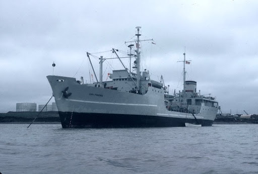
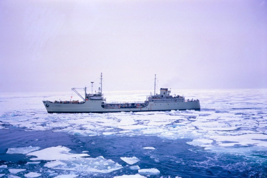
Pinnebog in the ice. Photo by amazon.com
In a way, I am glad I worked in the summers and not the winters. Richard told us about the severe cold and winter storms with huge snow drifts as high as a house, plus the months and months of darkness. Richard worked for a few years in Frobisher Bay, now Iqaluit, the capital of Nunavut, and also in Rankin Inlet. He also worked in Yellowknife for quite a few years. He would have many interesting stories to tell but that would be his to tell and for another time.
I have to acknowledge my niece, Sophie Ares-Carle, who provided a lot of guidance, instruction, suggestions, and tireless assistance with arranging and showing me how to utilize WordPress for my website. She spent a lot of hours helping me setting up headings and showing me where to insert paragraphs, information, and photos. Sincere thanks also to her husband Eddie Carle who was also very helpful with WordPress.
Respectfully submitted in the June 2020 “Covid – year”
Jean-Louis Ares
